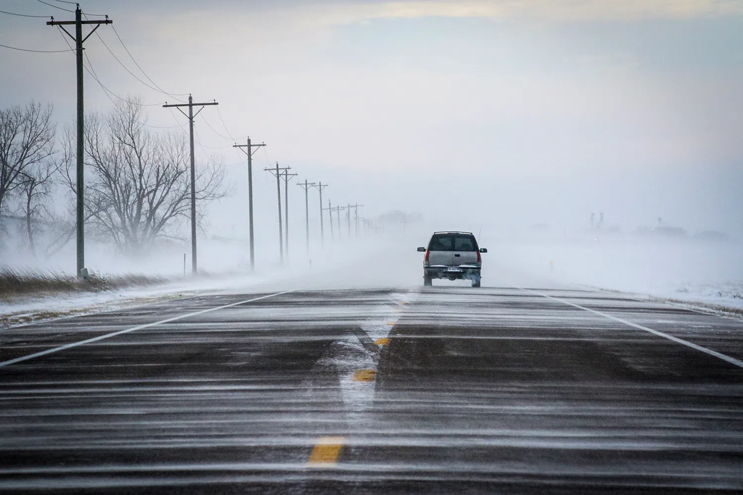
HASTINGS — A snow squall formed in central Nebraska during the afternoon hours of Thursday, Jan. 18 and caused visibility on the roads to plummet and contributed to several multi-vehicle pileups.
Jordan Thies, lead meteorologist with the National Weather Service – Hastings, said the area had been dealing with light to moderate snow and a heavy snow band had moved across the area.
From 3:30 to 4 p.m., Thies said NWS Hastings staff noticed a thin line of snow developing on radar. It was being driven by a secondary surge of cold air, temperatures fell 10 to 15 degrees and wind gusts ranged from 45 – 50 mph.
A measurement of 59 mph was even measured at the Hastings Municipal Airport, said Thies.
Thies said the snow squall developed behind the earlier snow band and stretched from north of Aurora southwest to Hildreth.
The combination of drier snow, the surge of cold air and increasing winds all contributed to the snow squall and what they are best known for – a rapid drop in visibility, Thies said.
This made conditions especially dangerous for those who were on the roadways. Blizzard-like conditions quickly overtook drivers. Even in Hastings, residents reported that visibility dropped to only 10 to 20 feet, Thies said.
Ron Pughes, Adams County Emergency Manager, said that NWS Hastings issued the initial Snow Squall Warning at 4:06 p.m., where it reached residents smartphones.
At 4:09 p.m., the first calls regarding accidents started to roll in. The drop in visibility, down to near zero for 20-25 minutes caused vehicles to slam into the back of one another.
Pughes said most people were not injured, but three to four were transported for non-life-threatening injuries.
Highway 6 was closed around 4:46 p.m. due to the multi-vehicle accidents and was reopened around 5:30 p.m. after the vehicles were removed from the roadway.
Kirt Smith, Hamilton County Emergency Manager, said there were several multi-vehicle accidents that occurred on Highway 34 west of Aurora and Highway 14, north of Interstate 80. He noted the timing coincided with the snow squall passing through the area.
Jon Rosenlund, Hall County Emergency Management Director, said that between 3-6 p.m., there were 10 accidents and law enforcement provided 10-12 motorists assists.
Snow squalls are broken down into two categories, the first being lake effect snow squalls, generated by cold arctic air moving over unfrozen water.
The second are frontal snow squalls, associated with a fast moving and intense cold front during the winter. The quantity of snow is not important with this type, but intensity is heavy for a short period, usually 10 to 20 minutes.
The November 2018, the snow squall warning was declared operational in the United States and the ability to issue these warnings were rolled out to all NWS offices.
These issuances are intended to warn drivers of potentially life-threatening road conditions.
The criteria include visibility of less than one quarter of a mile, sub-freezing temperatures on the ground, expected to last in one area less than 60 minutes and cause dangerous and life-threatening conditions.
Thies noted the snow squall on Thursday was driven by a different process than those that usually produce snow.
This was more convective in nature and was influenced by the steeper low-level lapse rates in place, which is the rate of change in temperature with height.
The faster the temperature decreases with height, the “steeper” the lapse rate and the more “unstable” the atmosphere becomes.


