
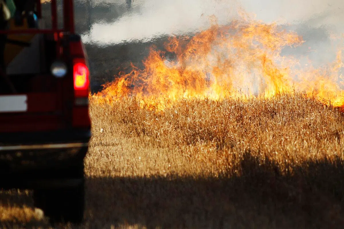
Grass fire in progress, (Brian Neben, Courtesy)
HASTINGS — With the warmer than average temperatures for this time of year and lingering drought issues, near critical fire weather danger is possible Friday, Feb. 23 through Monday, Feb. 26.
The National Weather Service – Hastings noted that today will be breezy, but the overall fire weather threat is expected to be on the lower side as relative humidity remains above 30 percent for much of the area.
Friday will see 30 mph wind gusts out of the northwest. Most areas will remain around or above 30 percent relative humidity, but the southwestern zone of the NWS Hastings coverage area could dip below 25 percent.
“As warmer temperatures arrive over the weekend, the fire weather threat becomes more widespread, and some areas could even reach red-flag conditions Saturday through Monday,” NWS Hastings stated.
A red flag warning is a forecast warning issued by the NWS to inform the public, firefighters, and land management agencies that conditions are ideal for wildland fire combustion, and rapid spread.
To the public, a Red Flag Warning means high fire danger with increased probability of a quickly spreading vegetation fire in the area within 24 hours.
Grand Island, Hastings and counties to the east are still under severe drought, D2, conditions. Areas west of Buffalo County are currently under no drought conditions.
Next Tuesday begins to see a cooler trend, but the southern zones of the warning area could see another day of heightened fire danger before the cold front moves through.
Next Tuesday night into Wednesday will actually feature a chance for snow and colder temperatures, but warmer weather and an attendant fire risk is expected to return for the first week of March.


