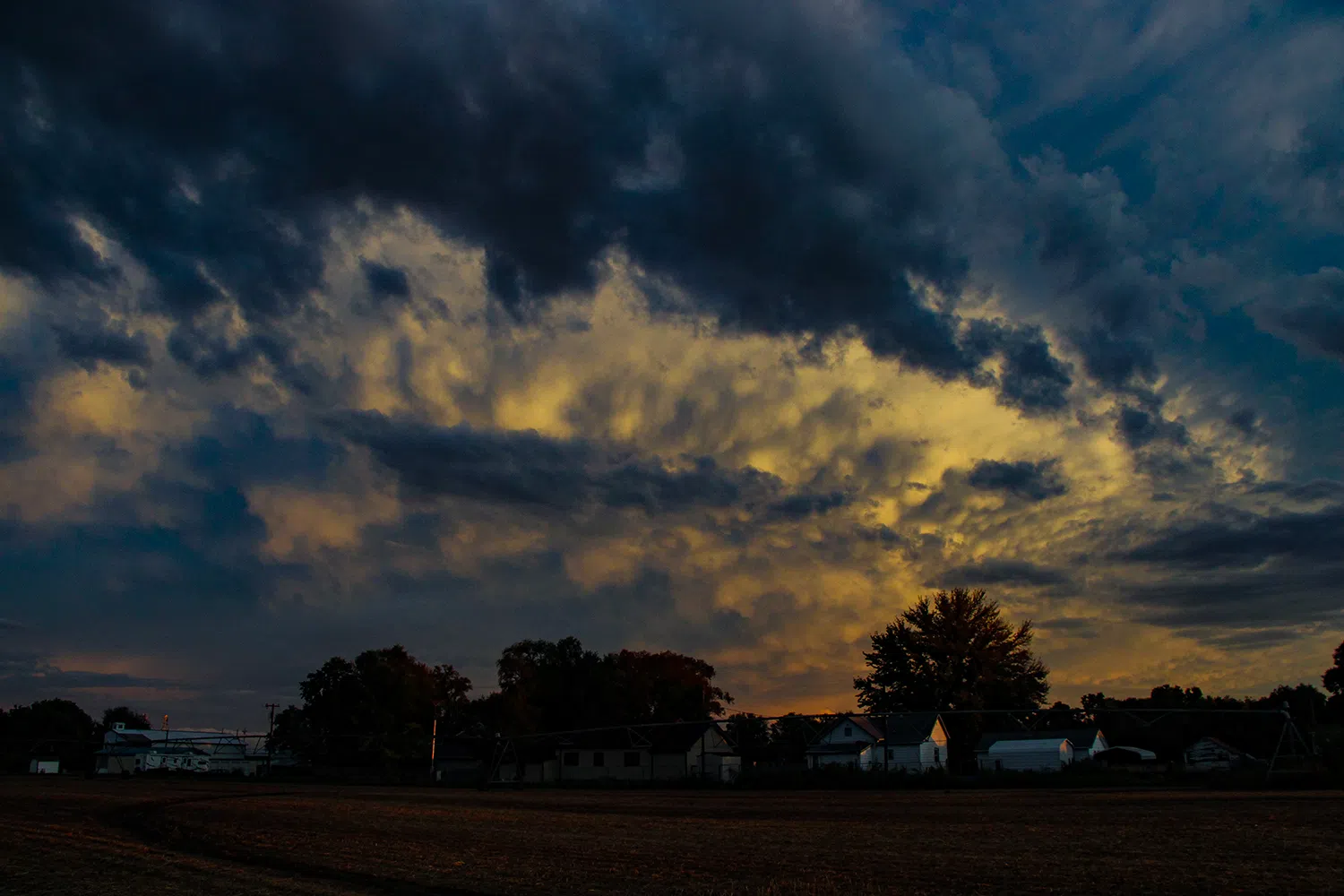
A thunderstorm passes near Odessa in 2023, (Brian Neben, Courtesy)
HASTINGS — An active weather pattern begins to establish itself this week, with the chance for strong to severe thunderstorms toward the end of the work week.
Tuesday will see cooler temperatures behind a front that will pass through Monday evening. This will lead to breezy north winds that will contribute to near critical fire weather conditions given the low relative humidity.
Luckily, the area is trending toward a more substantial green up regarding vegetation, according to the National Weather Service – Hastings.
Tuesday evening could see widespread frost but is highly dependent upon the timing of mid-level warm air advection and potential for cloud cover and scattered showers. Some frost could occur in the area from Greeley to York.
Wednesday should be pleasant with the lightest winds of the week, but southerly flow will begin to increase during the late afternoon west of Highway 281.
Thursday is when the chances for severe weather begin to increase. Low level moisture will be advected northward in response to a strong shortwave ejecting into the Plains ahead of a larger upper-level trough over the western United States.
The initial surge of warm air advection could lead to strong, elevated convection with mainly a hail threat early Thursday morning.
Rain and thunderstorm chances, including the potential for severe storms, increase late Thursday afternoon, but especially for the evening and overnight as the main shortwave trough ejects from the For Corners region onto the High Plains.
The timing may be less than ideal for peak severe thunderstorms coverage, but there still appears to be moderate instability and sufficient shear to support severe storm potential.
Any thunderstorm timing, coverage and severe potential on Friday will be driven by how Thursday night’s convection develops. There could be wrap around, non-severe activity that could persist across the area through Friday night.
Heading into the weekend, another upper-level trough ejects onto the Plains, but this looks to be farther south and will likely influence where the severe weather threat will set up.
Models have been hinting that this could turn out to be a widespread rain producer with a generally lower severe threat.
“Obviously great news for those looking for some much-needed moisture ahead of spring planting season. Many areas are sitting at only 15-75 percent of normal for the past 30 days, with overall driest areas along and southeast of a line from Osborne to Hebron,” NWS Hastings states.


