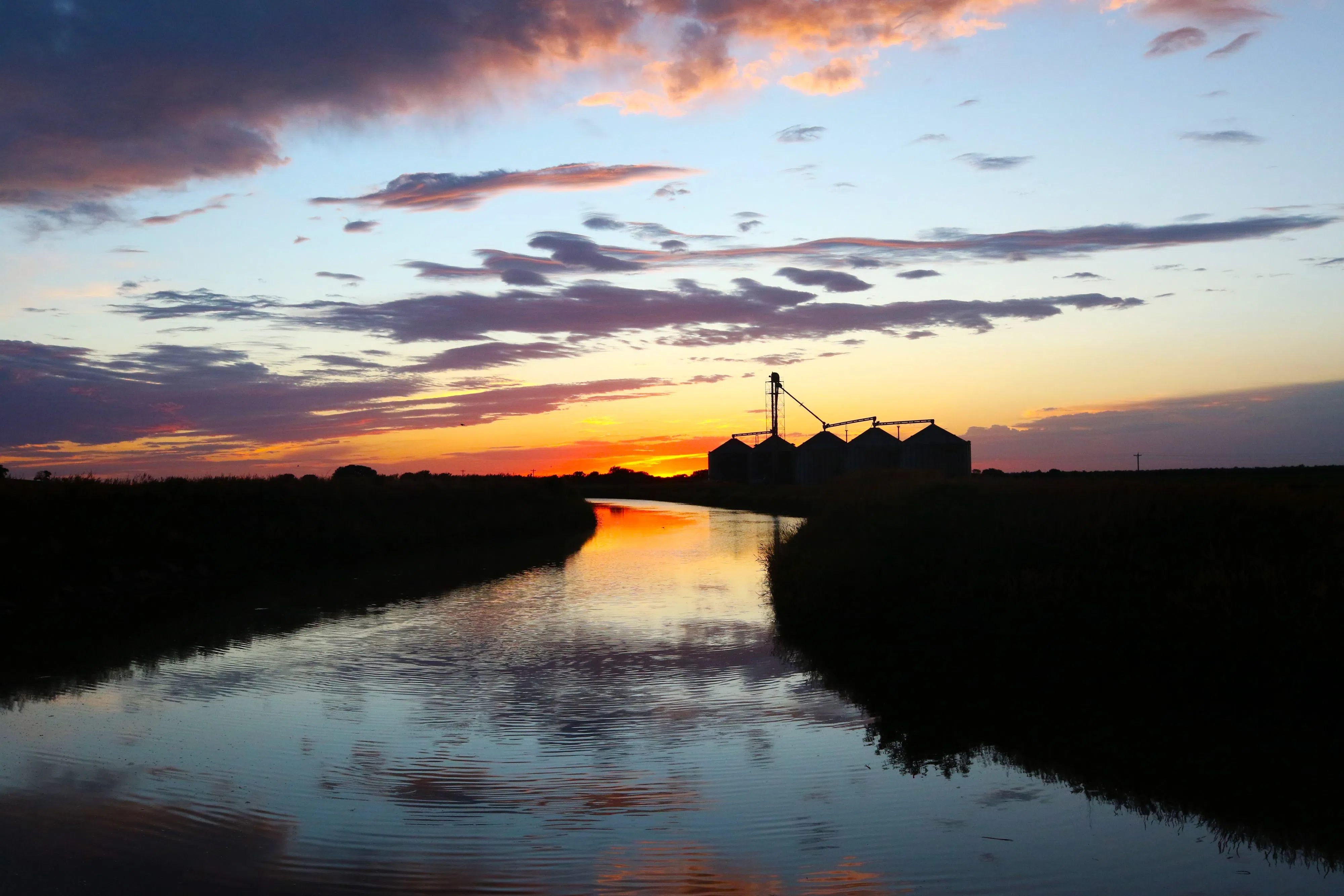
Late June sunset in Phelps County, (Brian Neben, Central Nebraska Today)
HASTINGS — The oppressive heat continues on Tuesday, with heat index values reaching near 100, a Heat Advisory continues for counites southeast of the Tri-Cities.
Highs are once again expected to be in the 90s and 100s across south central Nebraska and north central Kansas.
A passing cold front will help to keep the northern portions of the National Weather Service – Hastings warning area free of a Heat Advisory, but heat index values will still be in the upper 90s.
Southeastern areas will be under an advisory from 1 – 7 p.m. today, due to heat index values climbing to 105 degrees today.
As the cold front progresses south this afternoon, thunderstorm development is possible along the front. There is uncertainty regarding how widespread storm development will be this afternoon and evening.
Models show the possibility of at least isolated thunderstorms, but it’s just as likely that the warmer temperatures aloft fully suppress convective development. If storms do form, there is enough instability and wind shear that they could be strong to severe.
The main concern would be for large hail and damaging wind gusts.
Temperatures will slightly cool down on Wednesday in the wake of the cold frontal passage. Highs will still be in the mid-80s to low 90s with a light easterly wind.
Dry weather is expected through the daytime, but thunderstorm developing off of the western High Plains will move into the area late Wednesday night. The chances of any area seeing precipitation is 45 to 65 percent.
Thursday cools down even more thanks to the persistent cloud cover, with upper 70s in the north and mid-80s in the southwest.
“Strong to severe thunderstorms are possible on Thursday, but the environment will likely depend on how showers, storms move through Thursday morning,” per NWS Hastings.
Any lingering rain will come to an end on Friday and highs will climb back into the upper 80s and mid-90s.
“Active weather continues through the weekend as a series of shortwave troughs bring chances for precipitation to the area. Saturday and Sunday look to be cooler in the wake of a cold frontal passage, with highs in the upper 70s and 80s,” NWS Hastings states.
Cooler weather will be short lived as warmer temperatures return early next week with highs in the 90s.