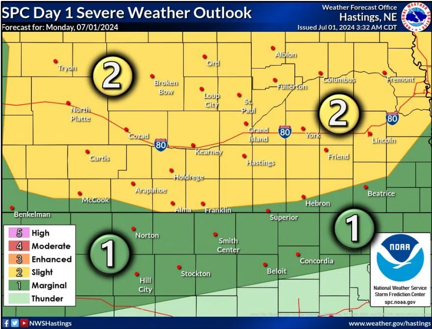
Severe weather threat for Monday, July 1, (NWS Hastings, Courtesy)
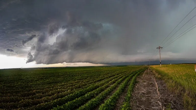
KEARNEY — Severe weather chances return to the forecast for south central Nebraska as thunderstorms capable of large hail, damaging winds and isolated tornadoes are possible on Monday, July 1.
Much of Nebraska is under a Slight Risk for sever weather, as issued by the Storm Prediction Center in Norman, Okla. A Slight Risk means isolated to scattered severe storms are expected and a few could be significant.
Following the quick hitting precipitation on Monday morning, skies will take some time to clear, especially north and east of the Tri-Cities, according to the National Weather Service – Hastings.
A warm front will advance northward and intense heating will take place, with highs in the 100s and a Heat Advisory is still in place for counites to the south along the state line.
By late afternoon, a surface low, intersecting with a warm front will set up near McCook. The conditions ahead of the warm front will be strongly unstable.
The prevalence of warm air at 10,000 feet could suppress storm development until late in the afternoon, but models continue to show storms developing in the area from North Platte to McCook.
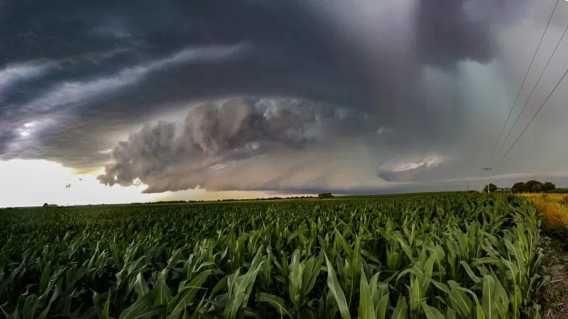
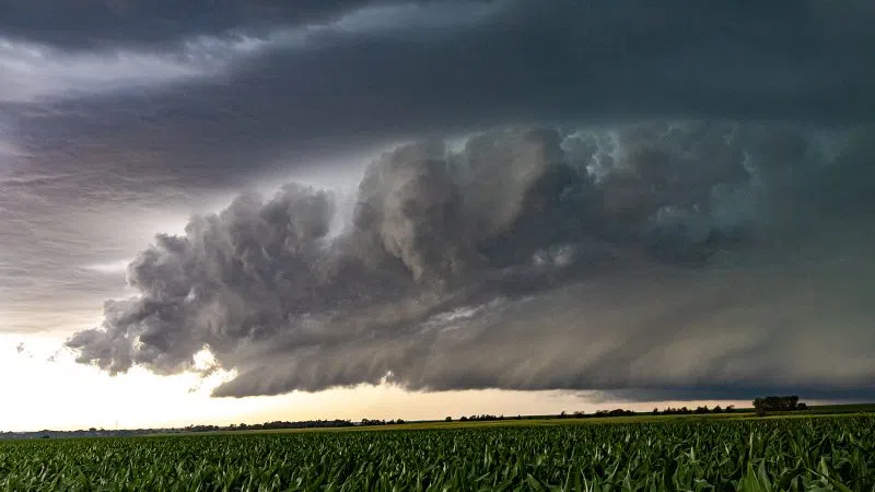
Once convection forms, there will be strong instability and strong deep layer shear for this time of the year. This should all support the development of supercell storm structures which could produce large hail, possibly golf ball sized or larger and strong downburst winds.
The tornado threat is elevated by early July standards as wind shear is high and will only increase as the early evening sees the onset of a low-level jet.
Also, deep layer shear vectors are parallel to the warm front, suggesting an optimal time for supercells to interact with the vorticity rich low-level environment near the front.
However, storms are expected to grow upscale quickly, so the window for tornadoes will be quite limited in time and space.
“Should the upscale development occur, then a transition to damaging wind gusts, perhaps in excess of 70 mph, would be favored and potentially sustained through late evening and eastward progression,” NWS Hastings stated.
Have multiple ways to receive weather information this evening and have shelter plans in place if needed.