
BROKEN BOW — The National Weather Service in North Platte is sending out a team to survey for possible tornado damage in the Broken Bow and Merna area after severe weather moved through north central Nebraska during the evening of Tuesday, July 16.
NWS North Platte Lead Forecaster Chris Buttler said that there were reports of tornadoes near Broken Bow and Merna and a survey team would be out today confirming how the damage was caused.
There were pictures of damage to a meatal building in the Broken Bow area that had been shared with NWS North Platte.
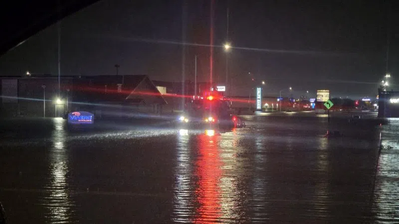
The severe thunderstorm that moved out of the Sandhills into north central Nebraska caused a variety of hazards, with 75 mph winds reported near Stapleton, along with power lines downed near the town.
There was golf ball sized hail reported north of Brewster, along with wind damage in the community. Two-inch hail was also reported in Johnstown in Brown County earlier in the evening.
The thunderstorm later would move into Dawson and Buffalo County, and had become outflow dominant, but still contained wind and hail threats, according to National Weather Service – Hastings meteorologist Ryan Pfannkuch.
Pfannkuch said that while the hail wasn’t overly large it still had the potential to damage crops through a 45–50-mile swath from Sumner to Holdrege. There were also winds up to 50-75 mph.
Dawson County has been hit particularly hard by hail storms this summer, including the June 29 storm that heavily damaged Cozad, widespread storms on July 6 and now a third large hail storm on July 16, Pfannkuch noted.