
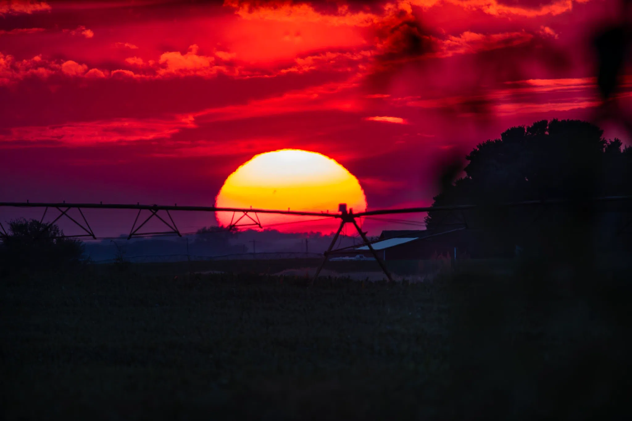
A mid-August sunset viewed from western Buffalo County, (Brian Neben, Central Nebraska Today)
HASTINGS — The work week will start out decidedly cooler, but the warm temperatures will make a return by midweek and persist through the weekend across central Nebraska.
High temperatures on Monday will reach the mid-80s owing to an upper-level ridge of high pressure that extends from Texas into the northern Plains, according to the National Weather Service – Hastings.
At the surface there is a weak surface low over the high terrain of Wyoming and high pressure off to the northeast. Winds will be stronger today due to a tighter pressure gradient; winds will be out of the southeast at 10-15 mph with gusts up to 20 mph.
A shortwave disturbance embedded in the upper-level ridge will move across the central Plains, bringing a chance of rain and thunderstorms to the area, mainly on Tuesday morning.
The better chances for rain look to be west of Highway 281, as the shortwave weakens as it moves east on Tuesday. Highs will range from the mid to upper 70s over south central Nebraska.
By Wednesday, the upper-level ridge is expected to reestablish itself over the Plains, which will lead to dry and warm conditions with high temperatures in the mid-80s.
This pattern will continue through Friday, but additional shortwave disturbances embedded in the upper pattern will bring new thunderstorm chances late Wednesday night into Thursday morning.
Thursday will see highs in the 80s, while Friday will be warmer with highs in the upper 80s and 90s.
Looking into the weekend, model consensus begins to diverge with some showing the ridge being maintained, while overs show the ridge weakening. NWS Hastings will continue to lead toward a warmer and drier forecast this weekend.


