Brian Neben, Courtesy
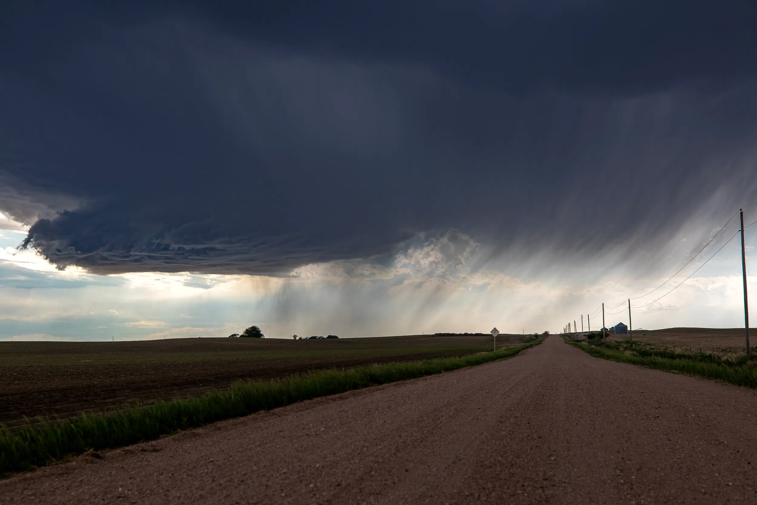
HASTINGS — The cool, damp and gloomy conditions that have been in place since the weekend will persist until Thursday. This will be followed by a warmup into the 80s next weekend.
According to the National Weather Service – Hastings, the cool conditions with patchy fog and drizzle will remain in place across the area today with temperatures only reaching the lower 60s.
It was noted that since the evening of Saturday, May 24, temperatures in Grand Island have only varied 13 degrees, between 50 and 63 degrees. This trend will remain in place through Wednesday.
Cloud cover will continue across the region on Wednesday, there is one more round of precipitation into Thursday. While there will be some isolated thunderstorms, no severe activity is expected.
Afterward, an upper-level ridge of high pressure will begin to impinge on the area from the west and allow for at least partial sunshine to return on Thursday afternoon, with above normal temperatures, into the 80s, on Friday and the coming weekend.
There are some model discrepancies, with some showing a new disturbance across the area, while others maintain the dry and warm conditions. Most models seem to hint that the dry and warm weekend will be uninterrupted.
There will not be a significant pattern chance until late in the period when a cutoff low-pressure area moves from the southwest and lifts northeast across the Great Plains. This could mark the start of a more west to southwesterly flow pattern and the potential for more active thunderstorm activity.