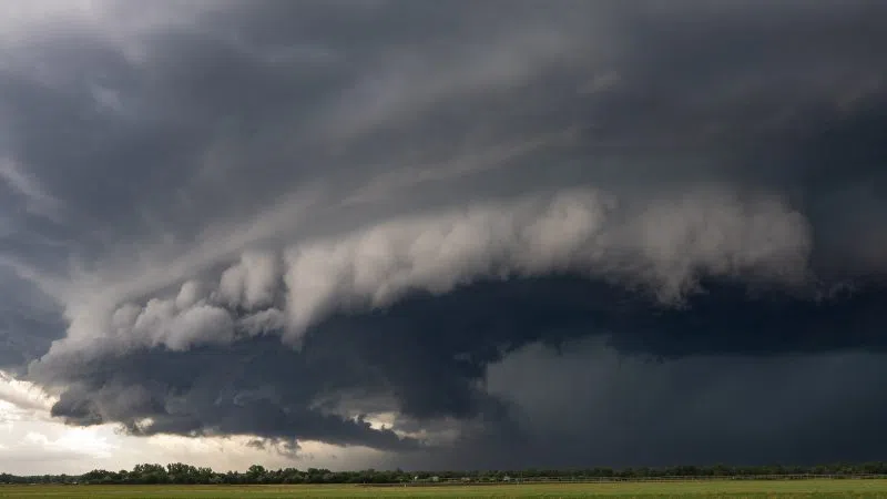
Flood Watch issued for the evening of Monday, June 2, (NWS Hastings, Courtesy)
KEARNEY — A Flood Watch has been issued for several central Nebraska counties in anticipation of slow-moving thunderstorms that could produce 2-4 inches of rain.
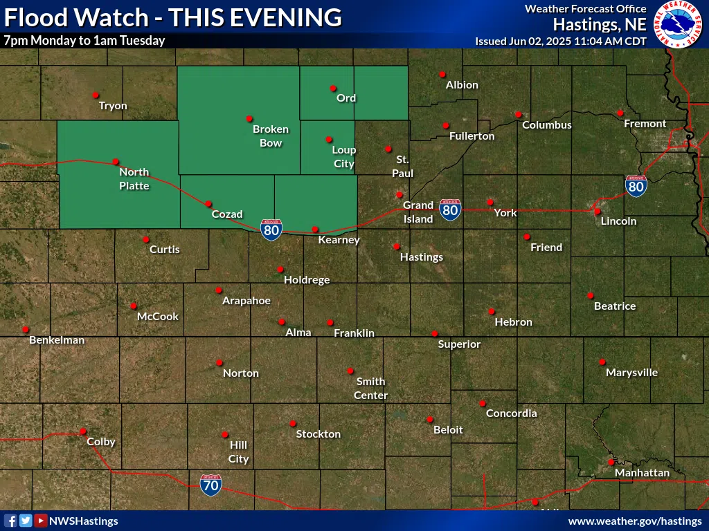
According to the National Weather Service – Hastings, the Flood Watch includes the counties of Buffalo, Dawson, Sherman, Greeley and Valley. It will go into effect from 7 p.m. through the night.
Slow moving thunderstorms are expected to develop along a cold front and move through the region tonight. Areas that are most likely to see excessive rainfall are along and northwest of a line from Lexington to Ravenna to Greeley.
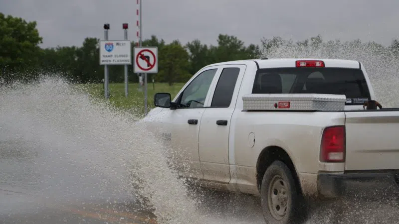
Excessive runoff may result in flooding of rivers, creeks, streams, and other low-lying and flood-prone locations.
“Flooding kills more people than just about any weather-related hazard. Most deaths associated with floods occur either at night, or when people become trapped in automobiles that stall while driving in areas that are flooded. Floods can be divided into two general categories: flash floods and river floods. Both hold potential for causing death, injury and property destruction,” per the National Weather Service.
“Most flash floods are caused by slow-moving thunderstorms, or thunderstorms which move over the same area one right after the other. Flash floods generally occur within a short time period after a rain event – generally six hours or less. For this reason they are more life threatening. Areas most susceptible to flash flooding are mountainous streams and rivers, urban areas, low-lying area, storm drains, and culverts,” per the NWS.