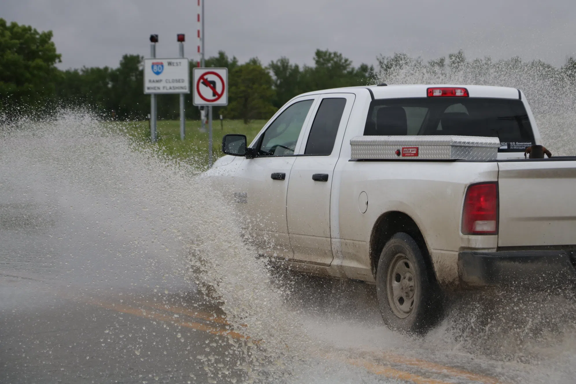
Flooding in central Nebraska (Brian Neben, Courtesy)
KEARNEY — With rainfall that occurred during the overnight hours and more thunderstorms anticipated, a Flood Watch has been issued for parts of central Nebraska on Wednesday, June 25.
According to the National Weather Service – Hastings, the watch will be in effect from 3 p.m. through Thursday morning due to flooding caused by excessive rainfall.
The watch is in effect for the following counties in central Nebraska, Greeley, Howard, Merrick, Nance, Sherman and Valley. In south central Nebraska, Buffalo, Dawson, Furnas, Gosper, Hall and Phelps.
“Heavy rainfall will be possible across the watch area this evening as multiple lines of thunderstorms are forecast to impact the local area. Rainfall rates of 1-2 inches per hour will be possible, with total rainfall accumulation of 2-4 inches expected in spots by Thursday morning,” per NWS Hastings.
Thunderstorms occurred during the overnight hours of Tuesday, June 24 into Wednesday, June 25. Areas that saw the highest precipitation amounts include Loup City with 5.25 inches; Miller, 2.67 inches; Arapahoe, 2.34 inches; Rockville, 2.23 inches; Scotia, 2.23 inches; North Loup, 2.20 inches and Ravenna, 1.73 inches.
“In many cases, this rainfall will fall on top of already saturated soils, increasing the flood risk,” per NWS Hastings.
“You should monitor later forecasts and be alert for possible Flood Warnings. Those living in areas prone to flooding should be prepared to take action should flooding develop,” NWS Hastings stated.