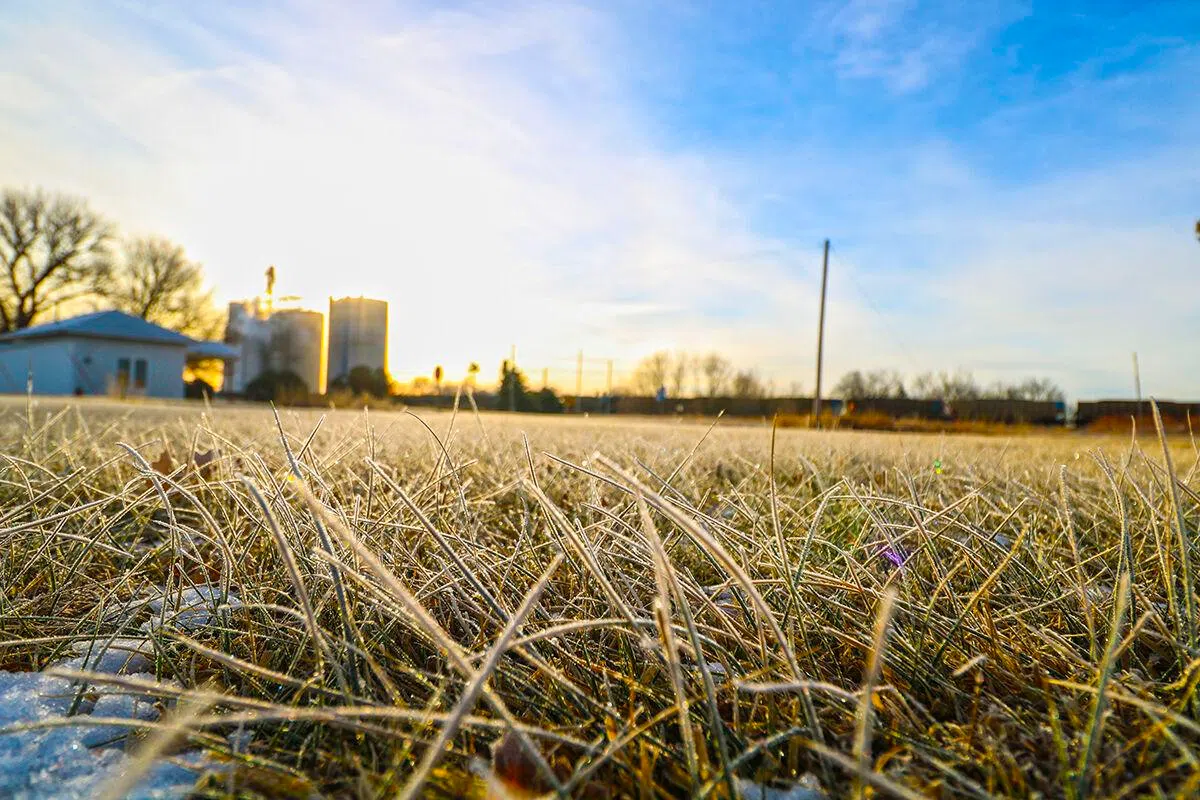
Frost covers the ground in Overton, (Brian Neben, Courtesy)
HASTINGS — This fall, National Weather Service – Hastings will issue Freeze Warnings/Frost Advisories for all 30 counties in our coverage area until those counties experience at least one freeze/hard freeze.
After that point, additional Warnings/Advisories are largely considered unnecessary because the growing season has effectively ended. Stay tuned for updates regarding when upcoming issuances of Warnings/Advisories appear possible, and also when Warnings/Advisories will cease for the fall season.
It may seem hard to believe, but according to long-term averages, most of the NWS Hastings coverage area of central/south central Nebraska and north central Kansas is now entering the 1–3-week time frame that typically features the average date of the first fall frost or freeze.
Of course, as outlined extensively in the data presented below, the first fall frost/freeze dates can vary tremendously from one year to the next, and just within the past 30 years, “first freezes” (32 degrees-or-colder) have ranged anywhere from mid-September to early-November. Last fall (2023) actually featured fairly “normal” dates for the first freeze/hard freeze (see 2023 recap section below for more details).
There is almost no concern for frost or freezing temperatures through at least Sept. 30. Although overnight lows will drop into the 40s on some nights, there is little to no sign of readings dropping into the upper 30s, let alone the mid-30s necessary to initiate frost formation.
Recapping Last Fall’s (2023) First Frost/Freeze in the NWS Hastings coverage area:
A Fairly “Normal” First Fall Freeze/Hard Freeze For the 2nd-Straight Year: As was the case in 2022, the first fall freeze/hard freeze of 2023 arrived at a fairly “normal”/typical time, with the vast majority of local NWS observation sites recording their first occurrences of 32/28 degrees within 10 days of their 30-year average date.
More specifically, the majority of stations dropped to at least 32 degrees for the first time on either Oct. 7 or Oct. 16, with the first hard freeze of at least 28 degrees occurring mainly Oct. 16t or 27. As is almost always the case, there were a few slight exceptions to the overall “near-normal” trend, including:
– 1) Greeley did not experience its first hard freeze until Oct. 27 (this was 17 days later than its 30-year average).
– 2) Plainville Kan., barely touched the freezing mark (32 degrees) on Oct 7 (this was 10 days earlier than its 30-year average).
NWS Hastings provided definitions regarding their watches and warnings.
Frost
Frost occurs when there is a solid deposition of water vapor from the air. Frost will form when solid surfaces are cooled below the dew point. An air temperature range of 33- 36 degrees, along with light winds, is usually needed to initiate frost formation.
At least minor damage is possible to plants. One must keep in mind that frost is not guaranteed if the air is very dry and if winds are roughly eight miles per hour.
The range of average dates for the FIRST fall frost across most of south-central Nebraska is between Sep. 24 – Oct. 9.
Freeze
Freeze occurs when the temperature drops to 32 degrees or lower. A freeze will damage many unprotected plants, especially if the temperature remains at-or-below freezing for several hours.
The range of average dates for the first fall freeze across most of south-central Nebraska is between Oct. 2 – 17.
Hard Freeze
Hard freeze, per our local NWS definition, occurs when the temperature reaches 28 degrees or lower.
This usually means that most seasonal vegetation will be destroyed. In addition, there is a likelihood of damage to unprotected outdoor plumbing, un-drained sprinkler and irrigation systems etc.
The range of average dates for the FIRST fall hard freeze across most of south-central Nebraska is between Oct. 10 – 27.
Early Frost of 1974
One of the earliest frost or freezes on record in parts of central and south-central Nebraska and north central Kansas occurred the first week of September 1974, as many locations dropped below the freezing mark on Sept. 3.
“An unseasonably cold air mass roared into the region behind a strong cold front. Eventually, surface high pressure set up over the region, creating an ideal situation for a record early freeze. In fact, note the handwritten comment “Record early damaging frosts, corn belt area” at the top of the weather map,” per NWS Hastings.
The Gothenburg site observer noted on their form, “Clear. Froze. Ice. Crop Damage.”