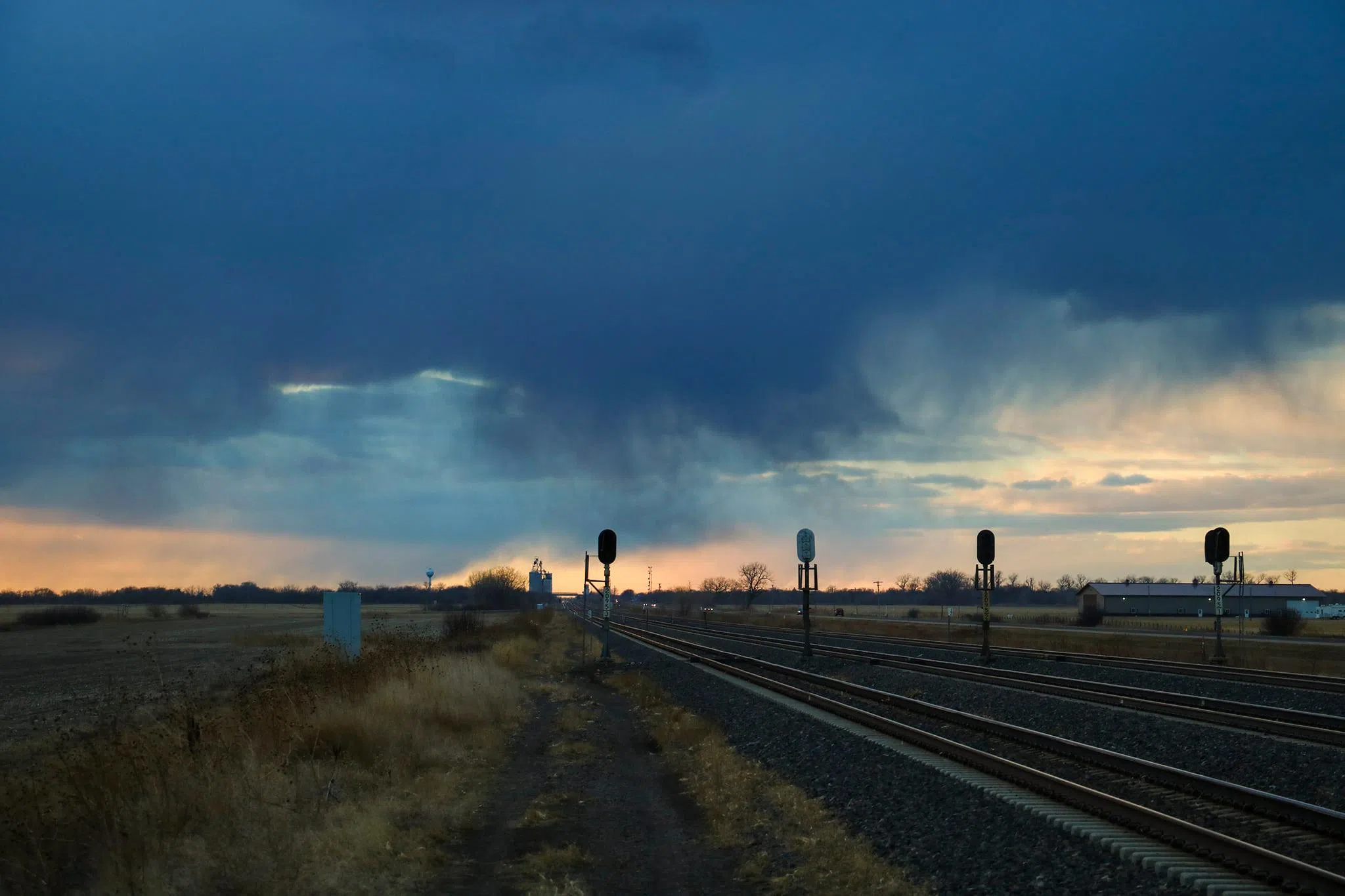
Rain curtains and virga in central Nebraska, (Brian Neben, Courtesy)
HASTINGS — Rainfall chances return to the area during the late afternoon and evening hours of Thursday, Nov. 20 and daytime on Friday, Nov. 21.
According to the National Weather Service – Hastings, a shortwave trough and associated area of surface low pressure is expected to lift into the central Plains during the afternoon and evening.
A band of stratiform rain is expected to slowly lift north during the evening hours and reach the Interstate 80 corridor overnight.
NWS Hastings expects little movement from the rain band on Friday as it sits across the southern half of the forecast area. Rain will gradually end from west to east on Friday afternoon and evening as the low-pressure area moves into the Mississippi Valley region.
This system to looks to bring widespread 0.5 inches to one inch of rainfall across the southernmost Nebraska counties. Precipitation accumulation will have a sharp gradient north of I-80, with areas north of Highway 92 unlikely to see anything more than trace amounts.
“The Tri-Cities and central third of the forecast area will see around 0.25-0.5 inches of rain by Friday evening,” per NWS Hastings.
Looking ahead into the weekend, sunshine looks to make a return with highs in the 60s, creating more pleasant conditions.
Another low-pressure area moves into the Plains on Monday and will bring an additional chance of rain to the area, with the highest chances lying southeast of the Tri-Cities.
A cold front arrives during the Tuesday-Wednesday time period and will bring much cooler air to the area, with highs in the 30s and low 40s.