
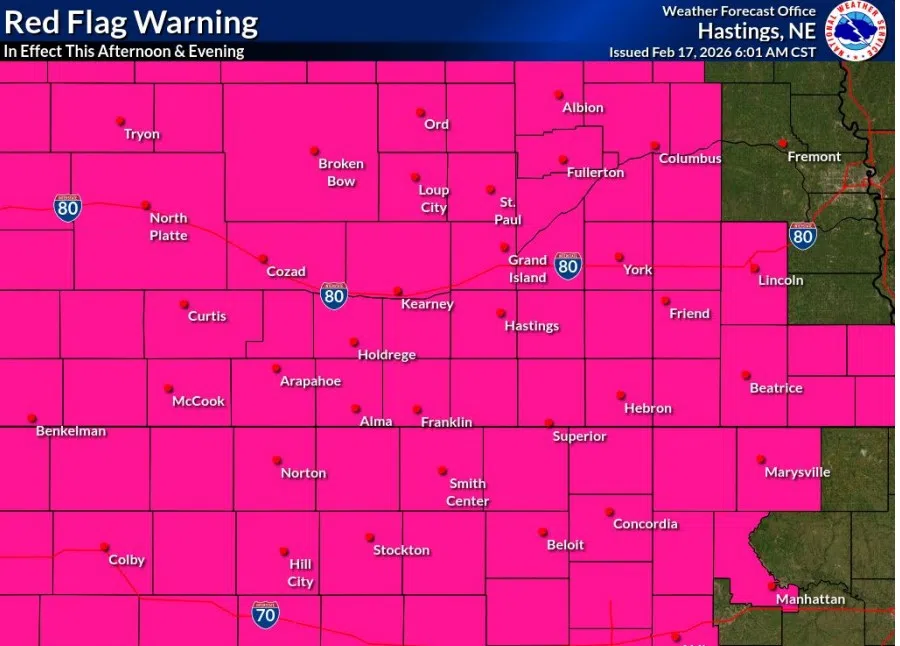
Red Flag Warning issued for dangerous fire weather conditions on Tuesday, Feb. 17, (NWS Hastings, Courtesy)
HASTINGS — Dangerous fire weather conditions are in place across all central Nebraska as rare “Extreme” conditions are possible. A Red Flag Warning has been issued until this evening.
According to the National Weather Service – Hastings, widespread critical fire weather conditions are likely this afternoon into the evening, and improvement will be usually slow this evening.
As a surface low pressure system strengthens over the northern Plains, sustained westerly winds should peak in the 30-40 mph range with higher gusts for several hours, according to the Storm Prediction Center.
Rare “Extreme” conditions are possible along and west of Highway 183, especially in the 4 p.m. to 8 p.m. time frame.
“Can’t stress enough of just how high end of a fire weather day it appears today will be meteorologically, and potentially high impact for anyone that has to deal with new fire starts,” NWS Hastings staff stated in a forecast discussion.
From a historical perspective, the NWS Hastings area had only been included in an “Extreme” Fire Weather category three times over the past 20 years, with the last “extreme” fire weather day coming on Dec. 15, 2021.
That day saw several large wildfires break out in parts of north central Kansas. The Kansas Forest Service dubbed the largest of the fires the “Four Counties Fire”, which burned a cumulative 121,600 acres, mostly within Russell/Ellis counties, and around 11,000 acres in Osborne County. These fires destroyed several homes and outbuilding and killed hundreds of livestock.
It was noted that the 60 mph wind gusts that were present on Dec. 15, 2021 will be less today, but the hot, dry air and dry fuels due to drought conditions could make up for it.
“The most intense fire weather conditions still appear to favor areas along and west of Highway 183, where there may be the greatest overlap of 40-50 MPH wind gusts and RHs only in the low to mid-teens,” per NWS Hastings.
Recent forecast models show a surge of single digit dewpoints behind a west to east sweeping front that will shift winds from southwest to west. This front will keep dangerous fire weather conditions present well into the mid to late evening, much later than typical fire weather days.
The effect will be that any fires that start today will continue into the evening and will remain difficult to fight.
Area’s east of Highway 183 won’t see as severe of conditions, but they will still be “very concerning.” Wind gusts will average around 30-45 mph, with relative humidity levels around 15-20 percent.
“Seriously reconsider burning outdoors today. Please avoid anything that could cause a spark. These conditions mean fires can spread in minutes, putting neighbors, homes, livestock, and first responders at serious risk. One small decision can have devastating consequences. Let’s all do our part to keep our communities safe. Additional fire weather concerns are expected Wednesday, so please stay aware and continue to use extreme caution,” the Nebraska Forest Service stated.
Fire departments across central Nebraska are urging residents to be safe today and noted to double check any type of burns that took place recently to make sure they are completely out.


