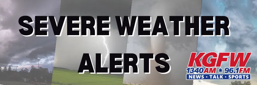
Weather Forecast from the National Weather Service for Thursday Night into Weekend
– High confidence in a widespread strong to severe thunderstorm event across much of the forecast area this evening/tonight. Many areas will see over 1 inch of rain, with localized 2 to 3 inch amounts.
– Primary severe weather threat this evening/tonight will be golf ball sized hail and thunderstorm wind gusts to around 70 mph primarily along and south of I-80. There will also be an isolated tornado threat mainly in our southwest (Phillips, Rooks, Osborne Counties in Kansas).
– Upper low will be slow to exit the area on Friday and thus another round of severe thunderstorms are possible Friday, mainly between 11 AM and 4 PM across our east and northeastern areas, including the possibility for isolated tornadoes in addition to hail and winds.
– Expect a general lull in precipitation chances Friday night into at least the first half of the daytime Saturday. Thunderstorm chances will increase late Saturday afternoon into the evening, with more high end severe weather possible, especially from the Tri-Cities and points to the south and southeast.
– Areas of frost are possible Sunday night, mainly to the northwest of the Tri-Cities as we cool down behind the departing storm system.
We use cookies for various purposes including analytics and marketing. By continuing to use this service, you agree to use cookies by us and out third-party service providers as described in the Privacy Policy.