HASTINGS — The 2023 tornado season across central Nebraska saw an average number of tornadoes with two days producing most of the tornadoes that touched down across the region.
Much of central Nebraska falls under the watch of the National Weather Service – Hastings. They monitor a total of 24 Nebraska counties and six north central Kansas counties.
Statistically, May and June are the most active periods for severe weather and tornadoes for Nebraska. Spring is the estuary in which the strong winds aloft from winter mix with the moisture of the summer, both of which are important ingredients for tornado producing storms.
There were 60 tornadoes reported in Nebraska last year, with 31 occurring in May. There were six tornadoes reported in Burt and Scotts Bluff counties, during severe weather events in late June.
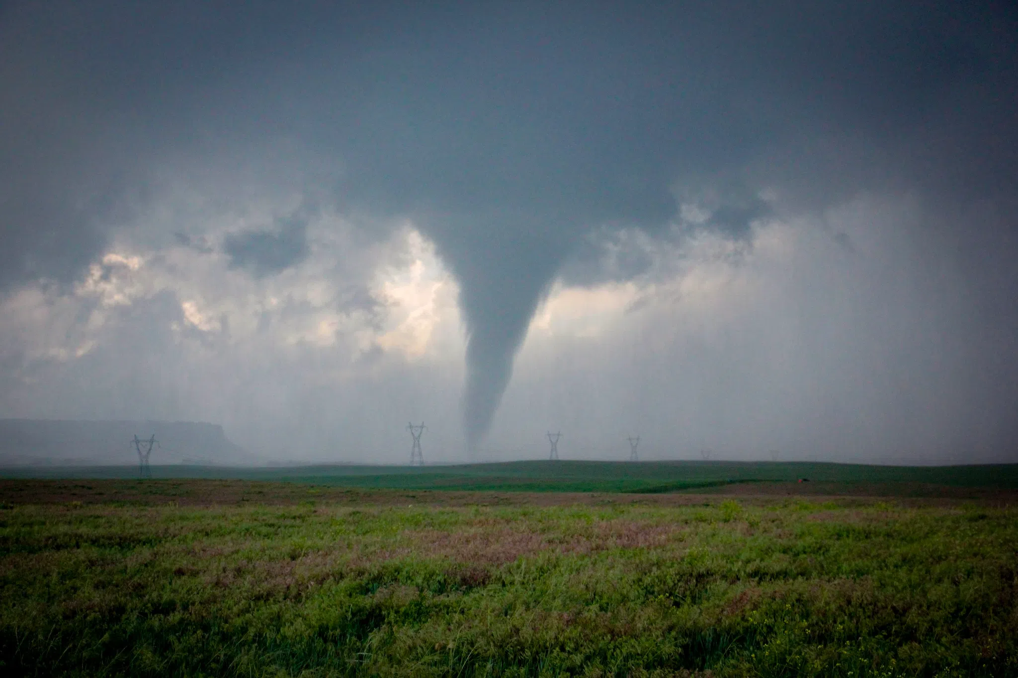
An EF-U tornado over rural Wyoming on June 23, 2023 (Brian Neben, Courtesy)
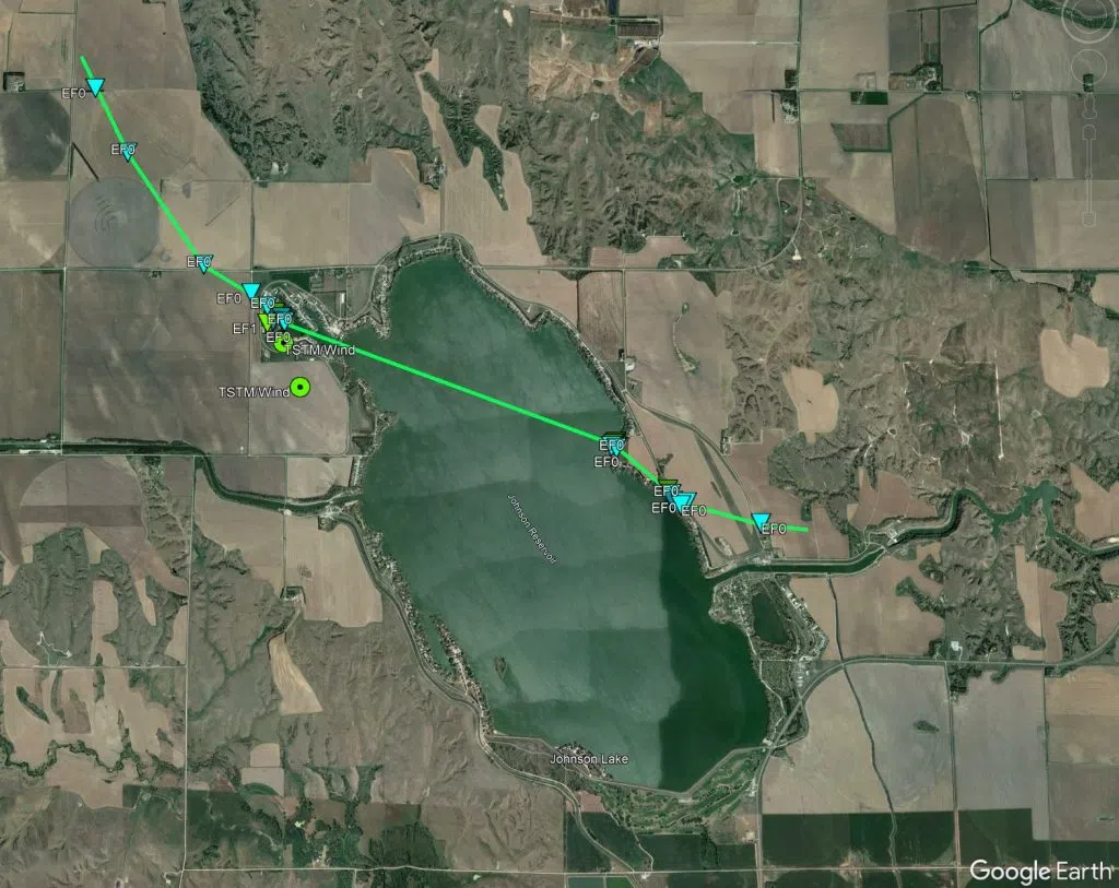
One notable tornado occurred after dark and impacted the community around Johnson Lake during the evening hours of Friday, May 5.
After dark, a Quasi-Linear Convective System (QLCS), or squall line formed in the western part of Nebraska and was moving eastward, according to NWS Hastings Warning Coordinator Mike Mortiz.
Part of the QLCS system began to bow out at it entered the far north of Gosper County and an area of rotation could be seen on radar. Mortiz said a lowering had been reported in Frontier County, which prompted a tornado warning to be issued.
A tornado did indeed form, touching down at 10:54 p.m. four miles northwest of Johnson Lake. Three irrigation pivots toppled before the tornado entered the Lakeview Acres area.
Mortiz noted there was a high variability of damage in the Lakeview Acres area, while some sheds were destroyed, others in the area showed little damage.
The tornado was assigned an EF-1 rating.
The track of the EF-1 tornado that struck Johnson Lake after dark on May 5, 2023, (NWS Hastings, Courtesy)
On May 12, there were 50 tornado warnings issued, due to a large upper-level low pressure area that was moving through the Plains.
Moritz said the storms had a unique motion and moved to the northwest, and there were 25 tornadoes reported.
The EF-1 tornado that occurred near Spalding was well documented by extreme meteorologist Reed Timmer and his team drove their tornado intercept vehicle into the path and rode out the twister on the road.
A late season severe weather event occurred on Oct. 12 when five tornadoes were reported in central Nebraska.
The first tornado, rated EF-0, occurred northeast of Bertrand around 2:05 p.m. and 2:08 p.m. Its estimated maximum winds were 80 mph, width was 30 yards and path length totaled 1.8 miles.
The same thunderstorm continued to move northeast and around 2:20 p.m., produced an EF-U tornado 3.5 miles south of Overton in Dawson County.
A tornado is rated EF-U (unknown) due to the lack of appreciable damage. The location of this tornado and other EF-U’s during the evening were estimated from public reports, videos, and photos.
The most damaging tornado of the evening occurred two miles southeast of Hildreth.
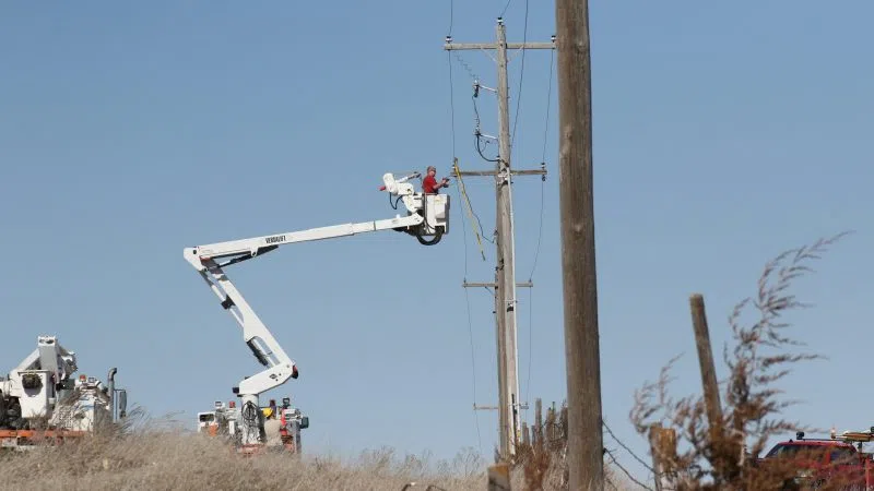
“This EF1 rated tornado with estimated peak winds of 90 mph was on the ground for just over six miles and for about 10 minutes,” per NWS Hastings, “Early on, the damage path was primarily found via corn stalks in fence and power lines. Eventually the tornado overturned two pivots before reaching a farmstead near Highway 10 about eight miles south of Minden.”
At 4:45 p.m., an EF-0 tornado was reported just east of Prosser in Adams County. NWS Hastings noted this twister primarily impacted corn along its short path of 1.23 miles.
The same thunderstorm also produced a rope-like tornado that was rated EF-U, three miles southwest of Doniphan in Hall County.
An additional EF-U had a brief touchdown near Beloit, Kan., in Mitchell County at 3:39 p.m.
As the severe weather season for the area approaches, it is important to understand how the public is forewarned of impending weather threats.
Weather watches, such as those for severe thunderstorms and tornadoes, are issued by the Storm Prediction Center in Norman, Okla.
Mortiz said the local weather offices collaborate with the SPC on the timing, location and duration of the watches. Once they are issued, the local weather offices can make changes as necessary.
When it comes to warnings, for everything from flooding to severe storms, tornadoes, etc., those are all handled by the local weather offices, said Mortiz.
Mortiz also called attention to lightning, where 36.8 million ground strikes occur across the United States each year, per the National Lightning Detection Network
He said lightning deaths have been reduced over the past decade, but it is still important for people to seek shelter indoors if they hear thunder.
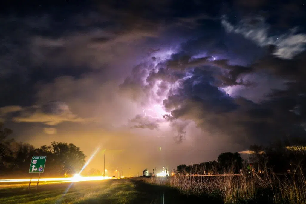
Intra-cloud lightning lights up a storm near Odessa during the evening of May 5, 2023, (Brian Neben, Central Nebraska Today)
Harmful weather doesn’t have to come in the form of a storm, Mortiz also pointed to the heat wave that occurred last August and how several days of high heat and humidity can have a debilitating effect on people in poverty, the senior citizens and those who work outside.
When it comes to the public reporting severe weather, Mortiz said if it is an emergency, call 911, all other events should be reported to the local NWS office, emergency management or on a non-emergency line to law enforcement.
In the event of a tornado, finding shelter underground is the safest option, a basement or storm shelter. If shelter underground is not an option, find an interior room and put as many walls between oneself and the outside, avoiding any windows.
The NWS is always looking for weather information, especially when severe weather is ongoing. Reports of tornadoes, funnel clouds, wall clouds and storm structure, hail of any size, damaging winds and flooding are all important.
There is a plethora of weather information online and on social media these days, but Mortiz said it is important to have multiple credible weather sources in the event of severe weather. Have multiple ways to access information in case of disaster and be safe in the event.
Mortiz concluded by saying residents need to be “weather ready,” but that doesn’t mean weatherproof. Severe weather will strike and it’s important to have a plan in place to lessen any impacts.
He said material property can be replaced, but life cannot; Mortiz said people need to be ready and to make smart decisions when the time comes.
Oct. 12 Severe Weather Photos