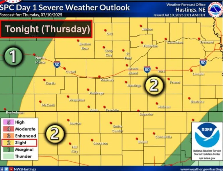
Slight Risk for severe weather issued for Thursday, July 10, (NWS Hastings, Courtesy)
HASTINGS — A Slight Risk for severe weather has been issued for late afternoon and evening of Thursday, July 10. A Marginal Risk has also been issued for Friday, July 11.
The Storm Prediction Center issued a Slight Risk, a two out of five, for much of central and eastern Nebraska, mainly for the threat of severe winds and large hail, however an isolated tornado cannot be fully ruled out.
According to the National Weather Service – Hastings, an upper-level shortwave disturbance was nearing south central Nebraska and storms were ongoing on Thursday morning aided by a low-level jet that will slacken throughout the day.
Temperatures are expected to reach the 90s and perhaps a few 100-degree readings this afternoon. The heat index will be near or above 100 across much of the local area.
A second shortwave disturbance will move over the area during the afternoon. Notably strong instability and low-level lapse rates will be in place; however, wind shear will be lacking, only reaching 34 mph.
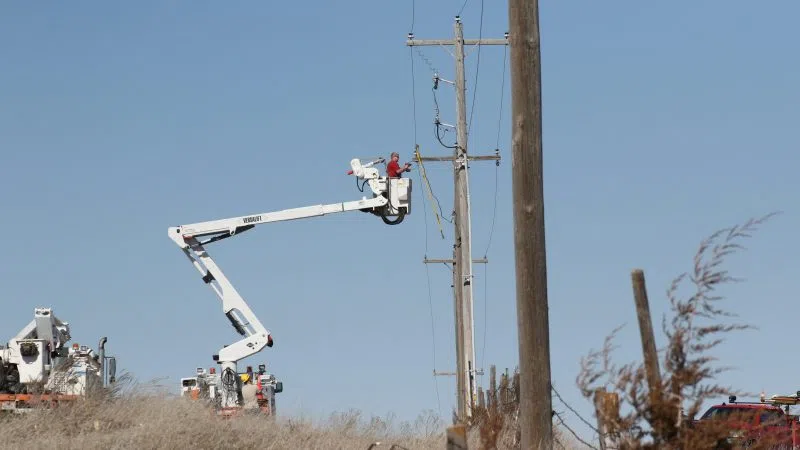
The main timing for severe weather appears to be late afternoon through the evening hours. Storms will pose a threat for damaging wind gusts and large hail.
Overnight low temperatures are expected to be in the low 60s to low 70s.
The chances of severe weather return on Friday as an upper-level trough of low pressure will move over the area and enhance lift. A cold front will also being moving southward toward the area, which will serve as a boundary for storm initiation.
Again, there will be fairly high moisture that will contribute to instability, but wind shear will again be lacking. The main threats will also be damaging winds and large hail.
Cooler temperatures are expected behind the front on Friday with highs in the upper 80s.
On Saturday, the surface high will be across the area with high temperatures in the upper 70s to mid-80s with light and variable winds. On Saturday night low temperatures will be in the upper 50s to mid-60s.